Postdoctoral research project
An integrated Remote Sensing – GIS approach for soil erosion mapping and modelling in Romania
Abordare integrată bazată pe tehnici de teledetecție și GIS pentru cartografierea și modelarea eroziunii solului in România
This research project is financed by UEFISCDI through PN-III-P1-1.1-PD-2021-0082 and hosted by the University of Bucharest Research Institute, between January 2023 – December 2024.
-
The project LOGO
We are happy to announce the logo of our research project, illustrating the integrated approach between Remote Sensing and GIS technologies and pedological information for soil erosion mapping, modelling and predition.
-
A new project…
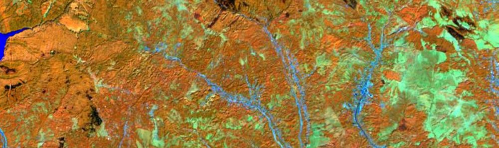
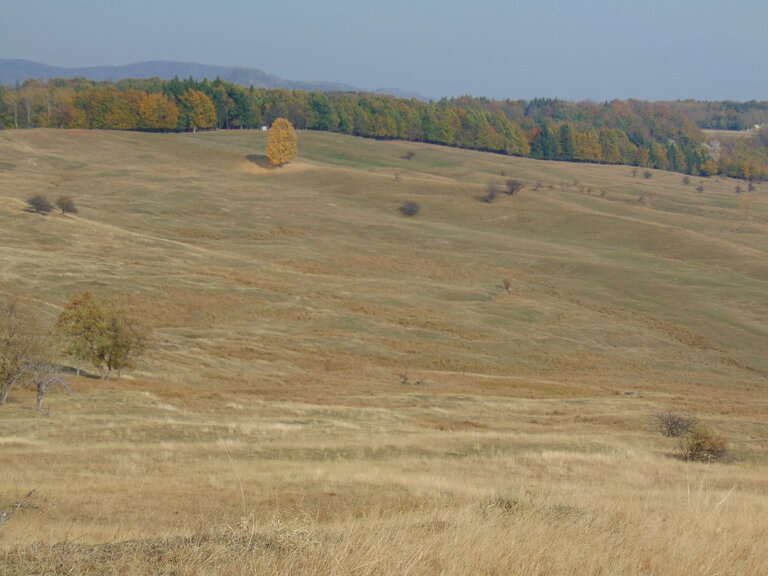
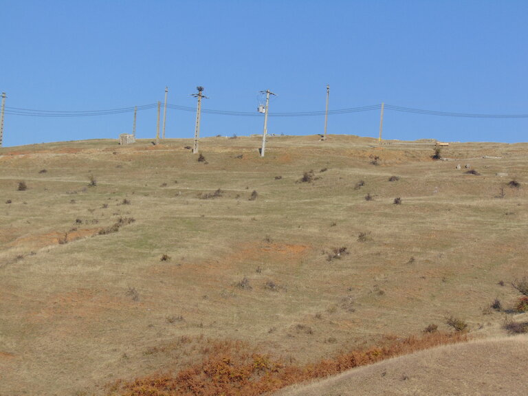
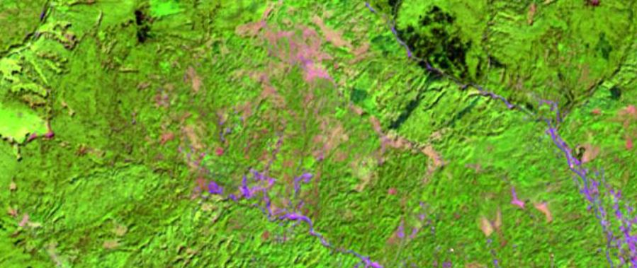
A new research project in the field of soil erosion has just started this January. The aim of this project is to develop an integrated approach for soil erosion mapping, modelling and prediction, for temperate region from Romania, based on remote sensing and GIS techniques. The project is funded by UEFISCDI and hosted by the…