Research and teaching activities about soils and erosion processes at Slănic-Prahova
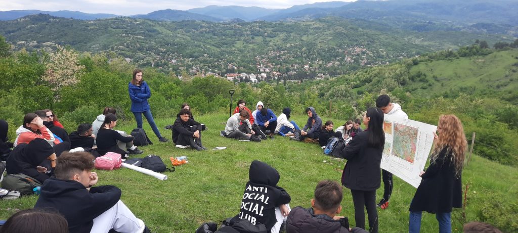
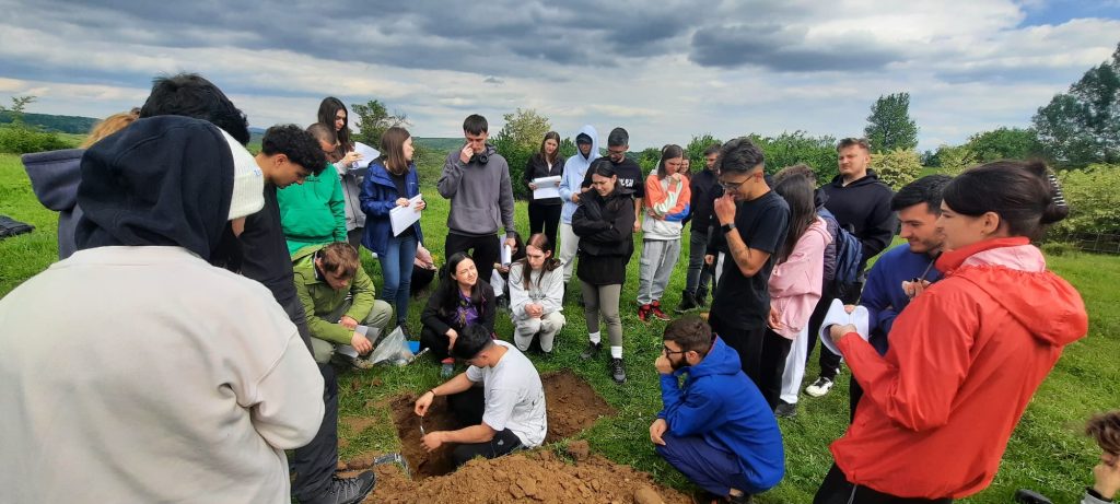
Based on our research activities in the Bughea Hills test site, we decided to involve students from the Faculty of Geography, University of Bucharest in a field application related to soil science. They learned how to interpret a soil sample, identifying the soil horizons and characteristics and made correlations to the geographical context.
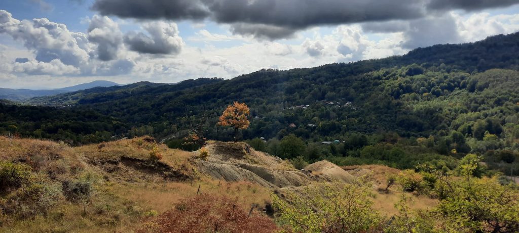
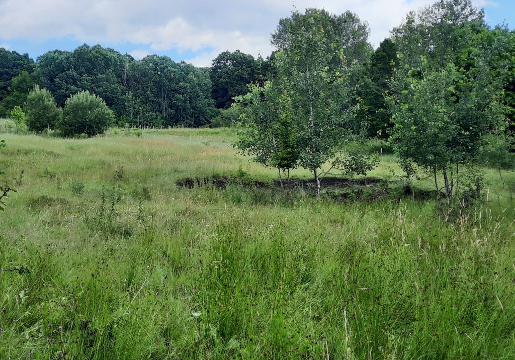
Land abandonment and land degradation, Bughea Hills, Subcarpathians
Bughea Hills, from the Prahova-Teleajen Subcarpathians, is one of the case studies of our project. It has a very dynamic evolution during the last century, from deforestation for agricultural land expansion to intensive exploitation through grazing and forest fruit plantation, and nowadays facing land abandonment. All these processes created favorable conditions for land degradation through multiple processes, including surface soil erosion, rill and gully erosion, and landslides developed on soft deposits including marls, clays and salt breccia.
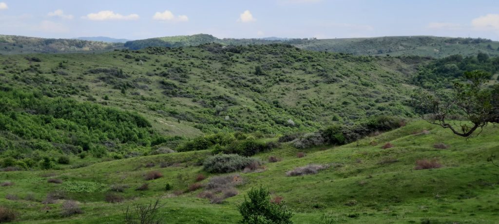
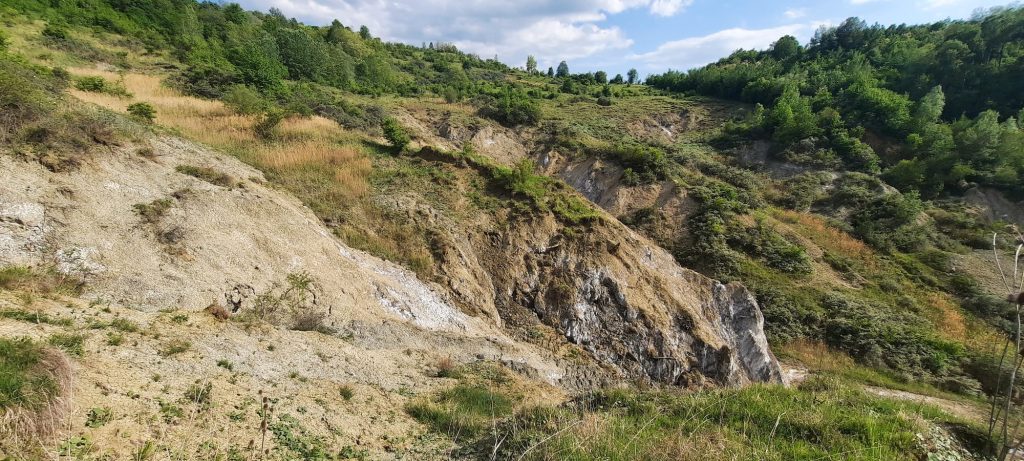
Aerial vs on-site view of eroded areas in Lutu Roșu village, Prahova County
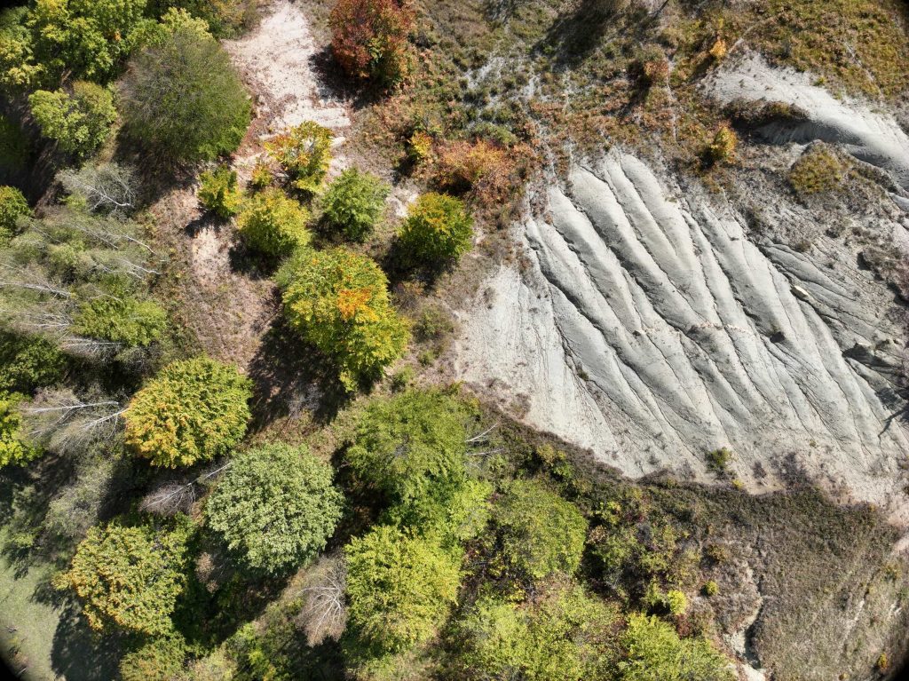
Lutu Roșu village is well known for the large spatial expansion of the degraded lands throughout different processes. Even if in the latest years, it is affected by land abandonment processes because of massive depopulation and decreasing of the agricultural activities, the natural regrowth of vegetation is difficult on these areas with no topsoil. These pictures were taken during the field campaigns in autumn 2024.
Visiting the test site from Bughea Hills
Visiting Bughea Hills, a case study situated within the Curvature Carpathians, between Vărbilău and Teleajen Rivers. Soil samples collection, drone mapping and observations were the objectives of this field research from July 2023.
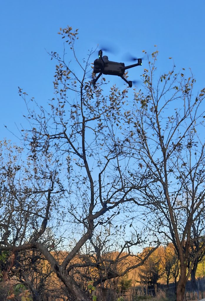
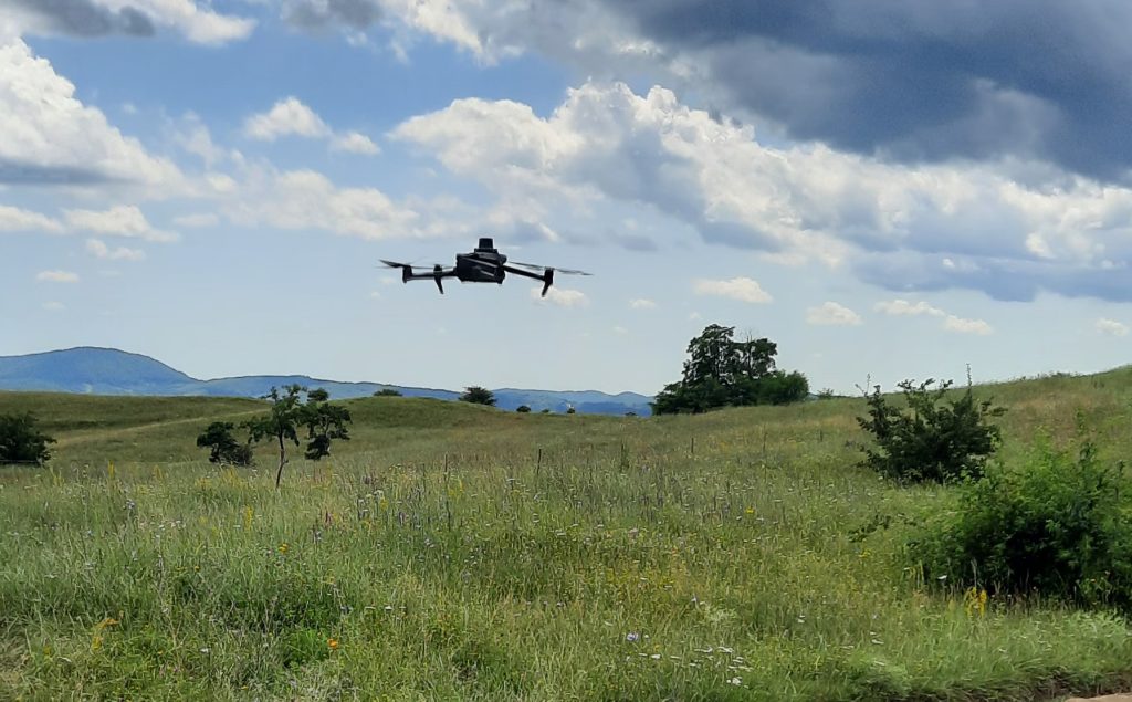
Drone mapping in Vărbilău Hills, Curvature Subcarpathians
We took advantage of this endless autumn in order to take aerial images in selected sites from Vărbilău Hills (Prahova Subcarpathians). This is a good time for drone mapping for soil erosion purposes, as the chlorophyll content is very low and the trees has no more foliage.